| P number: | P202190 |
|---|---|
| Old photograph number: | A02241 |
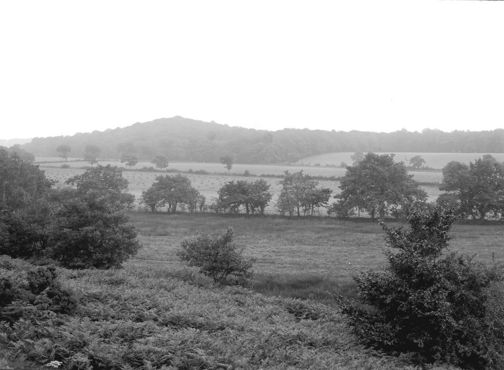
| Caption: | Torkin Hill, about 1 m. W. of Thursby. Looking SW. |
| Description: | Torkin Hill, about 1 m. W. of Thursby. Looking SW. The Torkin Esker. The wooded ground on the horizon indicates the crest line of the Torkin Esker, and the highest point, the top of the delta belonging to it. In front of the esker is a low drumlin ridge which has been covered by the delta on the left of the plate; between this and the camera follow successively a low drumlin ridge, an alluvial flat and the sands slope of the Low Whinnow Esker. |
| Date taken: | Tue Aug 01 00:00:00 BST 1922 |
| Photographer: | Rhodes, J. |
| Copyright statement: | Crown |
| X longitude/easting: | 331500 |
| Y latitude/northing: | 550500 |
| Coordinate reference system, ESPG code: | 27700 (OSGB 1936 / British National Grid) |
| Orientation: | Landscape |
| Size: | 193.23 KB; 1001 x 735 pixels; 85 x 62 mm (print at 300 DPI); 265 x 194 mm (screen at 96 DPI); |
| Average Rating: | Not yet rated |
| Categories: | Unsorted Images, Geoscience subjects/ Landforms, glaciation/ Kames and eskers |
Loading...
Loading...
Reviews
There is currently no feedback