| P number: | P202120 |
|---|---|
| Old photograph number: | A02171 |
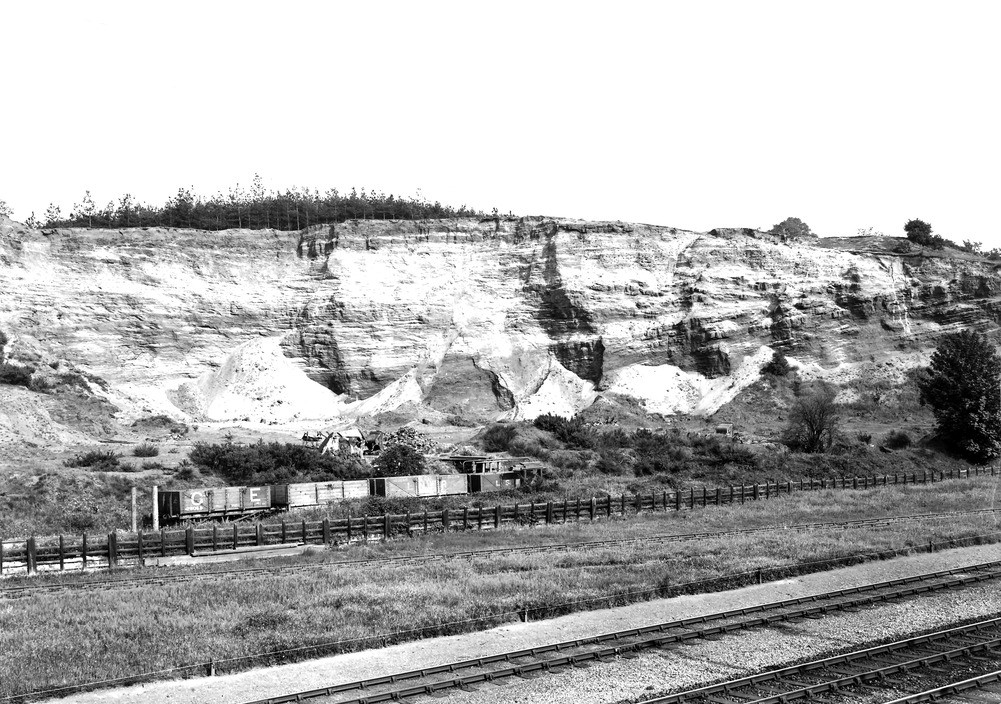
| Caption: | Sand-pit, about 1/2 m. N. of Sandy Station. Looking E. |
| Description: | Sand-pit, about 1/2 m. N. of Sandy Station. Looking E. Section shows lower part of the Lower Greensand. The basement bed is exposed above the level of the railway on the left-hand side of the photograph. |
| Date taken: | Mon May 01 00:00:00 BST 1922 |
| Photographer: | Rhodes, J. |
| Copyright statement: | Crown |
| X longitude/easting: | 517500 |
| Y latitude/northing: | 249500 |
| Coordinate reference system, ESPG code: | 27700 (OSGB 1936 / British National Grid) |
| Orientation: | Landscape |
| Size: | 291.17 KB; 1001 x 704 pixels; 85 x 60 mm (print at 300 DPI); 265 x 186 mm (screen at 96 DPI); |
| Average Rating: | Not yet rated |
| Categories: | Unsorted Images, Geoscience subjects/ Economic geology/ Gravel and sand |
Loading...
Loading...
Reviews
There is currently no feedback