| P number: | P201906 |
|---|---|
| Old photograph number: | A01955 |
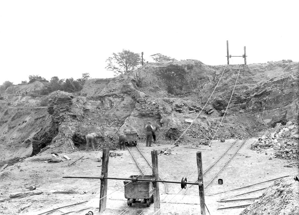
| Caption: | Doulton's Clay Hole, about 100 yd. S. of Brewins Bridge, (Dudley Canal), about 1/4 m. S. of Netherton Church. Looking S. |
| Description: | Doulton's Clay Hole, about 100 yd. S. of Brewins Bridge, (Dudley Canal), about 1/4 m. S. of Netherton Church. Looking S. Section in Middle Coal Measures. |
| Date taken: | Fri Jul 01 00:00:00 BST 1921 |
| Photographer: | Rhodes, J. |
| Copyright statement: | Crown |
| X longitude/easting: | 395500 |
| Y latitude/northing: | 286500 |
| Coordinate reference system, ESPG code: | 27700 (OSGB 1936 / British National Grid) |
| Orientation: | Landscape |
| Size: | 268.98 KB; 1001 x 722 pixels; 85 x 61 mm (print at 300 DPI); 265 x 191 mm (screen at 96 DPI); |
| Average Rating: | Not yet rated |
| Categories: | Unsorted Images, Geoscience subjects/ Economic geology/ Coal |
Loading...
Loading...
Reviews
There is currently no feedback