| P number: | P201736 |
|---|---|
| Old photograph number: | A01785 |
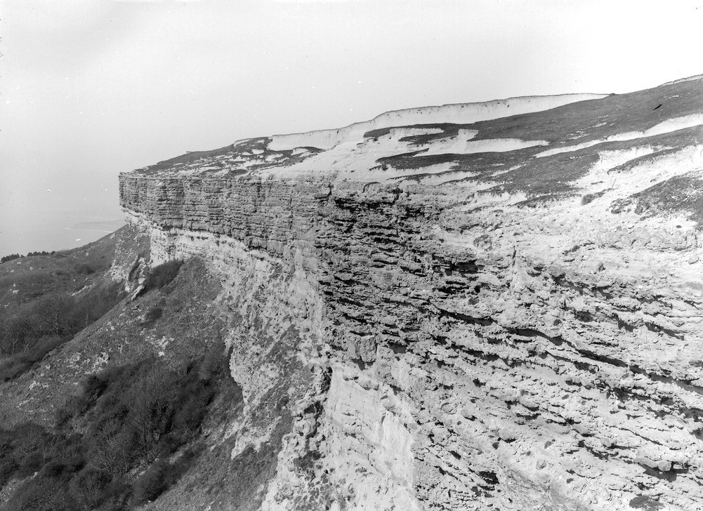
| Caption: | Gore Cliff (summit) about 2 m. SW of Niton. Looking W. |
| Description: | Gore Cliff (summit) about 2 m. SW of Niton. Looking W. Summit of Gore Cliff (b). Description of A1784 applies to this view. [Summit of Gore Cliff (a). The cliff is in Upper Greensand, of which the Freestone Beds (just above talus, on left) and overlying Chert Beds, are seen. The partly-turfed slope above the cliff is in wind-worn Chloritic Marl and Chalk Marl of the Lower Chalk. The white bluff (about 10 ft. high) in background, consists of fossiliferous, chalky rain-wash, of recent age. Atherfield Point, and Brxton Bay beyond it, in distance. Ref: 'A short account of the geology of the Isle of Wight', pp.55, 64, 194.] |
| Date taken: | Thu Mar 10 00:00:00 GMT 1921 |
| Photographer: | Rhodes, J. |
| Copyright statement: | Crown |
| X longitude/easting: | 449500 |
| Y latitude/northing: | 75500 |
| Coordinate reference system, ESPG code: | 27700 (OSGB 1936 / British National Grid) |
| Orientation: | Landscape |
| Size: | 292.32 KB; 1001 x 728 pixels; 85 x 62 mm (print at 300 DPI); 265 x 193 mm (screen at 96 DPI); |
| Average Rating: | Not yet rated |
| Categories: | Unsorted Images, Geoscience subjects/ Stratigraphical |
Loading...
Loading...
Reviews
There is currently no feedback