| P number: | P201731 |
|---|---|
| Old photograph number: | A01780 |
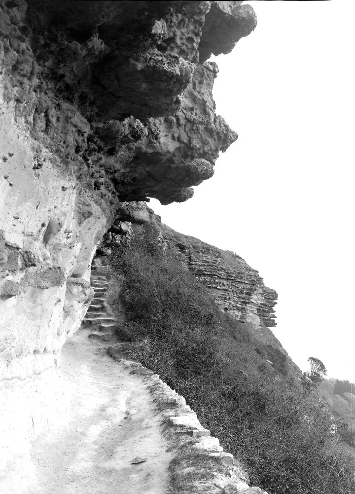
| Caption: | Cripple's Path' in the Undercliff, about 1 m. SE of Niton. Looking ESE. |
| Description: | Cripple's Path' in the Undercliff, about 1 m. SE of Niton. Looking ESE. Upper Greensand at the Cripple's Path, near Niton. Freestone Beds on left of foreground. Base of rugged Chert Beds overhead. The Chert Beds form the bluff to the right of the steps. A glimpse of the Undercliff in distance. Ref: 'A short account of the geology of the Isle of Wight', p.56. |
| Date taken: | Tue Mar 08 00:00:00 GMT 1921 |
| Photographer: | Rhodes, J. |
| Copyright statement: | Crown |
| X longitude/easting: | 453500 |
| Y latitude/northing: | 76500 |
| Coordinate reference system, ESPG code: | 27700 (OSGB 1936 / British National Grid) |
| Orientation: | Portrait |
| Size: | 232.41 KB; 720 x 1001 pixels; 61 x 85 mm (print at 300 DPI); 190 x 265 mm (screen at 96 DPI); |
| Average Rating: | Not yet rated |
| Categories: | Unsorted Images, Geoscience subjects/ Stratigraphical |
Loading...
Loading...
Reviews
There is currently no feedback