| P number: | P201658 |
|---|---|
| Old photograph number: | A01707 |
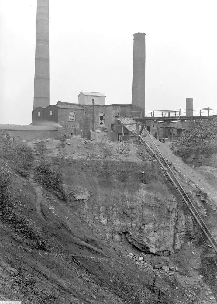
| Caption: | Castle Brick-pit (N. end of), Buckley, about 550 yd. N. of Elm Colliery shafts. Looking NNE. |
| Description: | Castle Brick-pit (N. end of), Buckley, about 550 yd. N. of Elm Colliery shafts. Looking NNE. A small fault trending NNW runs along the east face of this and Parry's Brick-pit, adjoining it on the south. The fault passes approximately along the incline here seen and throws up the base of sandstone overlying the Buckley Fireclay on the west (left-hand side of photograph). (Buckley Fireclay Group, at top of Middle Coal Measures.) |
| Date taken: | Wed Jul 01 00:00:00 GMT 1914 |
| Photographer: | Rhodes, J. |
| Copyright statement: | Crown |
| X longitude/easting: | 328500 |
| Y latitude/northing: | 366500 |
| Coordinate reference system, ESPG code: | 27700 (OSGB 1936 / British National Grid) |
| Orientation: | Portrait |
| Size: | 228.49 KB; 714 x 1000 pixels; 60 x 85 mm (print at 300 DPI); 189 x 265 mm (screen at 96 DPI); |
| Average Rating: | Not yet rated |
| Categories: | Unsorted Images, Geoscience subjects/ Economic geology/ Bricks, clay and marl quarries |
Loading...
Loading...
Reviews
There is currently no feedback