| P number: | P000292 |
|---|---|
| Old photograph number: | B00794 |
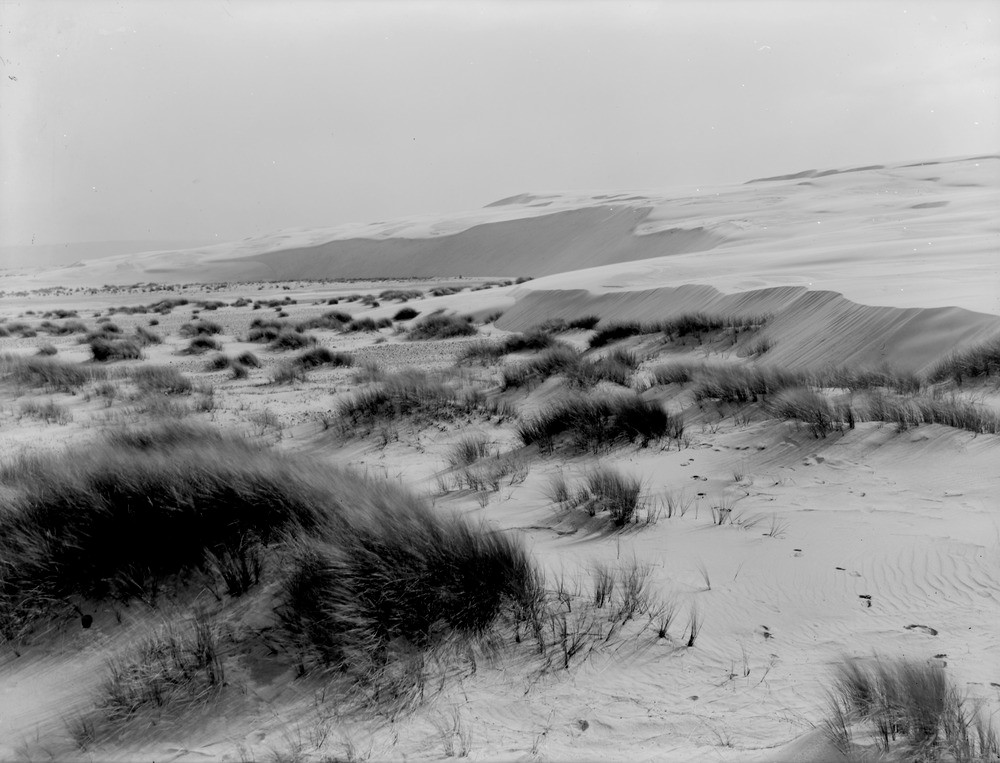
| Caption: | Culbin sand-hills. Morayshire. Sand-hills. Old land surface on the left is swept clear of advancing sand. The sand-drift is from right to left due to the prevailing winds, i.e. from west to east. |
| Description: | Culbin sand-hills. Morayshire. Sand-hills. Old land surface on the left is swept clear of advancing sand. The sand-drift is from right to left due to the prevailing winds, i.e. from west to east. The Culbin sand-hills covered an area amounting to six square miles extending from Low Wood to the mouth of the River Findhorn. Along the centre of the tract was a series of bare dome-shaped hills of sand rising to over 100 feet. Since this series of photographs the sands have been stabilized by afforestation and now most of the Culbin Sands area is a thriving forest under the care of the Forestry Commission and is designated a SSSI (Site of Special Scientific Interest). |
| Date taken: | Mon Jan 01 00:00:00 GMT 1912 |
| Photographer: | Lunn, R. |
| Copyright statement: | Crown |
| Acknowledgment: | This image was digitized with grant-in-aid from SCRAN the Scottish Cultural Resources Access Network |
| X longitude/easting: | 298500 |
| Y latitude/northing: | 861500 |
| Coordinate reference system, ESPG code: | 27700 (OSGB 1936 / British National Grid) |
| Orientation: | Landscape |
| Size: | 168.89 KB; 1000 x 763 pixels; 85 x 65 mm (print at 300 DPI); 265 x 202 mm (screen at 96 DPI); |
| Average Rating: | Not yet rated |
| Categories: | Unsorted Images, Geoscience subjects/ Landforms, wind/ Sand-dunes |
Loading...
Loading...
Reviews
There is currently no feedback