| P number: | P201372 |
|---|---|
| Old photograph number: | A01384 |
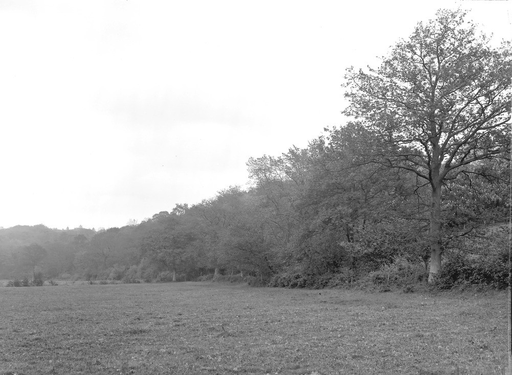
| Caption: | St. Anne's Hill, Chertsey from field. Looking E. |
| Description: | St. Anne's Hill, Chertsey from field. Looking E. The old cliff of the Thames, formed of Bagshot Sand; the high point on the left of the picture is St. Anne's Hill, which is capped by 40 feet of Bracklesham Beds and a little Plateau Gravel (summit at O.D. 230 degrees). In the foreground is the plain of Thames gravel overlain by alluvium from the Virginia Water Bourne, at 9.0. 50 degrees. The Thames is now separated from this cliff by a distance of about two miles. |
| Date taken: | Tue Nov 07 00:00:00 GMT 1911 |
| Photographer: | Rhodes, J. |
| Copyright statement: | Crown |
| X longitude/easting: | 502500 |
| Y latitude/northing: | 167500 |
| Coordinate reference system, ESPG code: | 27700 (OSGB 1936 / British National Grid) |
| Orientation: | Landscape |
| Size: | 225.89 KB; 1001 x 734 pixels; 85 x 62 mm (print at 300 DPI); 265 x 194 mm (screen at 96 DPI); |
| Average Rating: | Not yet rated |
| Categories: | Unsorted Images, Geoscience subjects/ Landforms, river/ River terraces and cliffs |
Loading...
Loading...
Reviews
There is currently no feedback