| P number: | P000291 |
|---|---|
| Old photograph number: | B00793 |
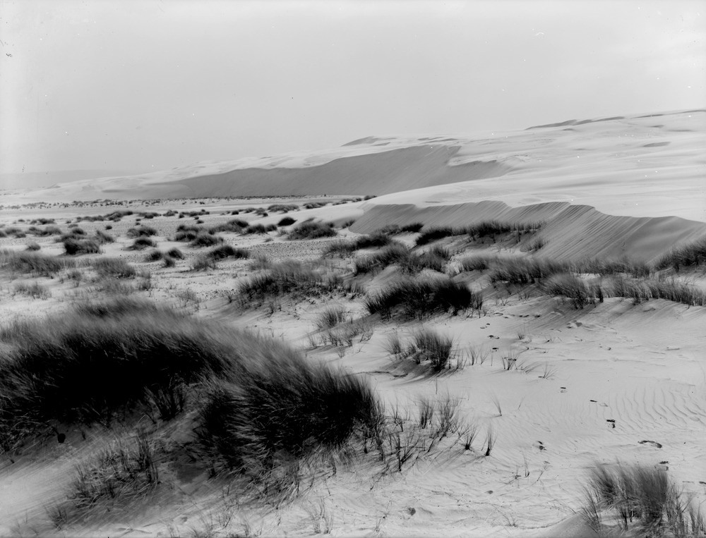
| Caption: | Culbin sand-hills. Morayshire. Sand-hills. Old land surface on the left is swept clear of advancing sand. The sand-drift is from right to left due to the prevailing winds, i.e. from west to east. |
| Description: | Culbin sand-hills. Morayshire. Sand-hills. Old land surface on the left is swept clear of advancing sand. The sand-drift is from right to left due to the prevailing winds, i.e. from west to east. The Culbin sand-hills covered an area amounting to six square miles extending from Low Wood to the mouth of the River Findhorn. Along the centre of the tract is a series of bare dome-shaped hills of sand rising to over 100 feet. The encroachment of the sand along the coast east from Nairn, which according to contemporary records, had been in progress for many years, culminated in the great storm in the autumn of 1694 that caused the destruction of the very fertile Culbin Estate. |
| Date taken: | Mon Jan 01 00:00:00 GMT 1912 |
| Photographer: | Lunn, R. |
| Copyright statement: | Crown |
| Acknowledgment: | This image was digitized with grant-in-aid from SCRAN the Scottish Cultural Resources Access Network |
| X longitude/easting: | 298500 |
| Y latitude/northing: | 861500 |
| Coordinate reference system, ESPG code: | 27700 (OSGB 1936 / British National Grid) |
| Orientation: | Landscape |
| Size: | 176.09 KB; 1000 x 763 pixels; 85 x 65 mm (print at 300 DPI); 265 x 202 mm (screen at 96 DPI); |
| Average Rating: | Not yet rated |
| Categories: | Unsorted Images, Geoscience subjects/ Landforms, wind/ Sand-dunes |
Loading...
Loading...
Reviews
There is currently no feedback