| P number: | P201283 |
|---|---|
| Old photograph number: | A01294 |
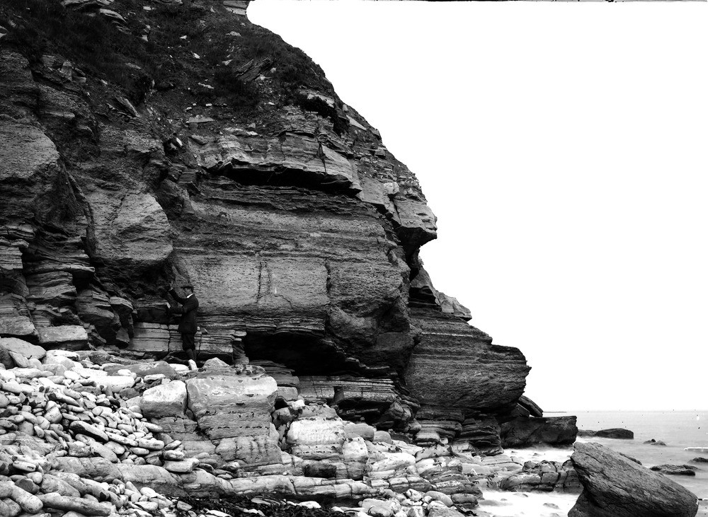
| Caption: | 1/2 m. SW of Peveril Point, Coastguard Station. Looking NNE. |
| Description: | 1/2 m. SW of Peveril Point, Coastguard Station. Looking NNE. The 'Cinder Bed', a limestone formed by Ostrea distorta. |
| Date taken: | Fri Oct 13 00:00:00 GMT 1911 |
| Photographer: | Rhodes, J. |
| Copyright statement: | Crown |
| X longitude/easting: | 403500 |
| Y latitude/northing: | 78500 |
| Coordinate reference system, ESPG code: | 27700 (OSGB 1936 / British National Grid) |
| Orientation: | Landscape |
| Size: | 248.89 KB; 1000 x 731 pixels; 85 x 62 mm (print at 300 DPI); 265 x 193 mm (screen at 96 DPI); |
| Average Rating: | Not yet rated |
| Categories: | Unsorted Images, Geoscience subjects/ Stratigraphical |
Loading...
Loading...
Reviews
There is currently no feedback