| P number: | P200988 |
|---|---|
| Old photograph number: | A00997 |
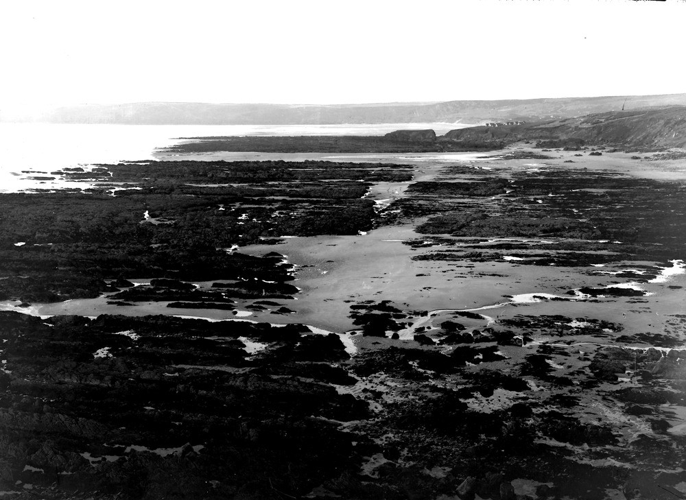
| Caption: | Foreshore, Freshwater West from Great Furnzenip. Looking NNW. |
| Description: | Foreshore, Freshwater West from Great Furnzenip. Looking NNW. Plane of marine denudation crossed by fault-trace. The plane is cut in Old Red Sandstones, marls and conglomerates. The fault-trace enters the view at A and curving somewhat eastwards passes through the gap in the headland (Little Furzenip) to the west of the huts. |
| Date taken: | Mon Nov 01 00:00:00 GMT 1909 |
| Photographer: | Hall, T.C. |
| Copyright statement: | Crown |
| X longitude/easting: | 188500 |
| Y latitude/northing: | 199500 |
| Coordinate reference system, ESPG code: | 27700 (OSGB 1936 / British National Grid) |
| Orientation: | Landscape |
| Size: | 216.63 KB; 1000 x 729 pixels; 85 x 62 mm (print at 300 DPI); 265 x 193 mm (screen at 96 DPI); |
| Average Rating: | Not yet rated |
| Categories: | Unsorted Images, Geoscience subjects/ Structural features/ Faulting |
Loading...
Loading...
Reviews
There is currently no feedback