| P number: | P000223 |
|---|---|
| Old photograph number: | D05088 |
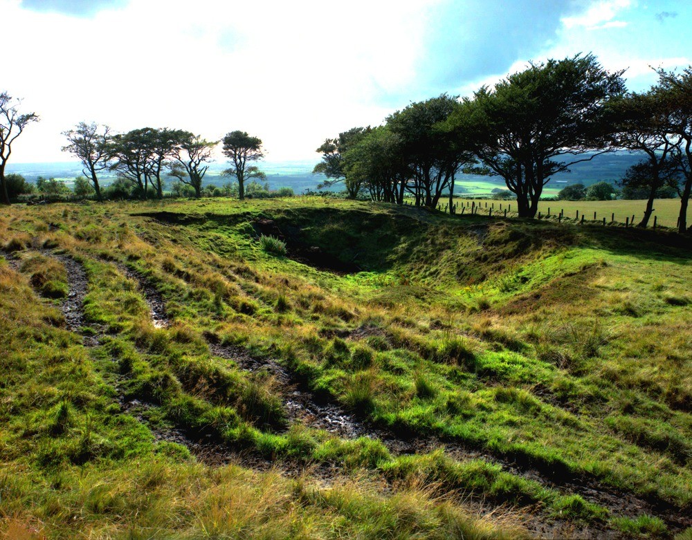
| Caption: | New Torphichen, 500 m. south-west of Cathlawhill Farm. Looking south-west. Disturbed ground caused by subsidence of shallow coal workings. |
| Description: | New Torphichen, 500 m. south-west of Cathlawhill Farm. Looking south-west. Disturbed ground caused by subsidence of shallow coal workings. The Carboniferous Bathgate Main Coal was worked in a number of very shallow workings, bell pits etc. on the western slopes of the Hilderton Hills, north of Bathgate. Subsidence caused by these workings is common and leads to disturbed ground on the surface. |
| Date taken: | Sat Jan 01 00:00:00 GMT 1994 |
| Photographer: | McTaggart, F.I. |
| Copyright statement: | NERC |
| Acknowledgment: | This image was digitized with grant-in-aid from SCRAN the Scottish Cultural Resources Access Network |
| X longitude/easting: | 298600 |
| Y latitude/northing: | 671850 |
| Coordinate reference system, ESPG code: | 27700 (OSGB 1936 / British National Grid) |
| Orientation: | Landscape |
| Size: | 339.83 KB; 1000 x 781 pixels; 85 x 66 mm (print at 300 DPI); 265 x 207 mm (screen at 96 DPI); |
| Average Rating: | Not yet rated |
| Categories: | Unsorted Images |
Loading...
Loading...
Reviews
There is currently no feedback