| P number: | P000222 |
|---|---|
| Old photograph number: | D05086 |
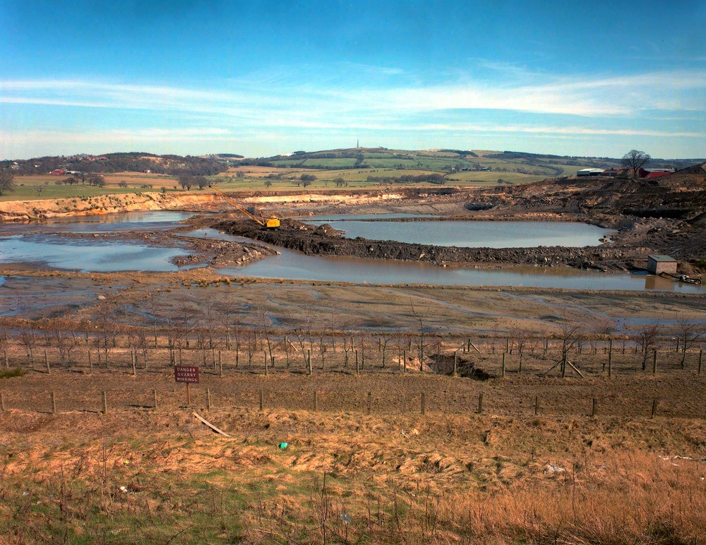
| Caption: | Couston Sand and Gravel Pit near Bathgate. West Lothian. |
| Description: | Much of the low ground beyond the pit is underlain by silt and clay of glaciolacustrine origin, and formerly worked for brick clay. Part of Torphichen, built atop a section of the Midland Valley Sill, is visible at the left-hand skyline. Sand and gravel extraction of glaciofluvial deposits at North Couston, by Patersons of Greenoakhill Ltd. A radio mast surmounts Cairnpapple Hill, formed of basalt of the Bathgate Hills Volcanic Formation. |
| Date taken: | Sun Jan 01 00:00:00 GMT 1995 |
| Photographer: | McTaggart, F.I. |
| Copyright statement: | NERC |
| Acknowledgment: | This image was digitized with grant-in-aid from SCRAN the Scottish Cultural Resources Access Network |
| X longitude/easting: | 298650 |
| Y latitude/northing: | 669150 |
| Coordinate reference system, ESPG code: | 27700 (OSGB 1936 / British National Grid) |
| Orientation: | Landscape |
| Size: | 311.55 KB; 1000 x 772 pixels; 85 x 65 mm (print at 300 DPI); 265 x 204 mm (screen at 96 DPI); |
| Average Rating: | Not yet rated |
| Categories: | Unsorted Images |
Reviews
There is currently no feedback

