| P number: | P200406 |
|---|---|
| Old photograph number: | A00412 |
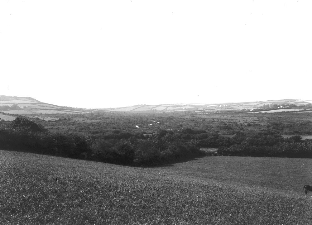
| Caption: | Red Moor, Landlivery. Looking W. |
| Description: | Red Moor, Landlivery. Looking W. Alluvial flat. The greater part of the low ground is killas forming a roof to the granite, the lusher surrounding ground being granite emerging from beneath the killas. The high point to the left is Helman Tor; the hamlet Bokiddick is on the centre of the skyline. The right edge of the moor marks approximately the upper limit of the Pliocene platform. The moor has been extensively turned. |
| Date taken: | Mon Jul 01 00:00:00 GMT 1907 |
| Photographer: | Hall, T.C. |
| Copyright statement: | Crown |
| X longitude/easting: | 207500 |
| Y latitude/northing: | 61500 |
| Coordinate reference system, ESPG code: | 27700 (OSGB 1936 / British National Grid) |
| Orientation: | Landscape |
| Size: | 165.17 KB; 1001 x 722 pixels; 85 x 61 mm (print at 300 DPI); 265 x 191 mm (screen at 96 DPI); |
| Average Rating: | Not yet rated |
| Categories: | Unsorted Images, Geoscience subjects/ Landforms, weathering/ Plateaux, Geoscience subjects/ Economic geology/ Metalliferous mining, tin |
Loading...
Loading...
Reviews
There is currently no feedback