| P number: | P200344 |
|---|---|
| Old photograph number: | A00350 |
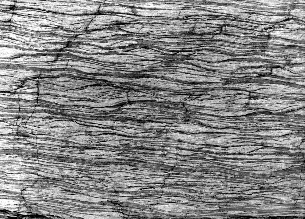
| Caption: | 200 yd. NE of Wiseman's Bay, Saundersfoot. Looking NW. |
| Description: | 200 yd. NE of Wiseman's Bay, Saundersfoot. Looking NW. Coal Measures. Black shale, and light grey sandstone or sand. The rock appears to have been drawn out and many of of the divisional planes, appear to be planes of movement rather than of disposition. Possibly all are? Compare A344, A355, A356. |
| Date taken: | Mon Jan 01 00:00:00 GMT 1906 |
| Photographer: | Hall, T.C. |
| Copyright statement: | Crown |
| X longitude/easting: | 214500 |
| Y latitude/northing: | 206500 |
| Coordinate reference system, ESPG code: | 27700 (OSGB 1936 / British National Grid) |
| Orientation: | Landscape |
| Size: | 399.55 KB; 1000 x 719 pixels; 85 x 61 mm (print at 300 DPI); 265 x 190 mm (screen at 96 DPI); |
| Average Rating: | Not yet rated |
| Categories: | Unsorted Images, Geoscience subjects/ Structural features/ Shearing and crushing |
Loading...
Loading...
Reviews
There is currently no feedback