| P number: | P000169 |
|---|---|
| Old photograph number: | C03839 |
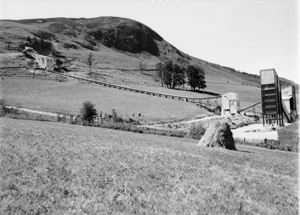
| Caption: | Shierglas Quarry, 1 mile south-east of Blair Atholl and 2 miles west-north-west of Killiecrankie Station. Perthshire. General view of plant at new quarry in limestone belonging to Dark Group of Blair Atholl Series, (Dalradian, Precambrian). |
| Description: | Shierglas Quarry, 1 mile south-east of Blair Atholl and 2 miles west-north-west of Killiecrankie Station. Perthshire. General view of plant at new quarry in limestone belonging to Dark Group of Blair Atholl Series, (Dalradian, Precambrian). The quarried rock passed through a primary crusher near the quarry before being transported down the hillside by means of the conveyor to the main plant near Shierglas Farm. Here it is dealt with in two further crushers; part of the product is conveyed to two large storage bins. The bins deliver various grades of chippings for roadstone and part is further processed to ground limestone for agricultural purposes. |
| Date taken: | Mon Jan 01 00:00:00 BST 1945 |
| Photographer: | Fisher, W.D. |
| Copyright statement: | Crown |
| Acknowledgment: | This image was digitized with grant-in-aid from SCRAN the Scottish Cultural Resources Access Network |
| X longitude/easting: | 288500 |
| Y latitude/northing: | 763500 |
| Coordinate reference system, ESPG code: | 27700 (OSGB 1936 / British National Grid) |
| Orientation: | Landscape |
| Size: | 210.41 KB; 1000 x 719 pixels; 85 x 61 mm (print at 300 DPI); 265 x 190 mm (screen at 96 DPI); |
| Average Rating: | Not yet rated |
| Categories: | Unsorted Images |
Loading...
Loading...
Reviews
There is currently no feedback