| P number: | P000168 |
|---|---|
| Old photograph number: | C03838 |
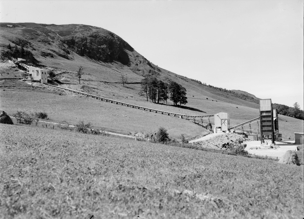
| Caption: | Shierglas Quarry, 1 mile south-east of Blair Atholl and 2 miles west-north-west of Killiecrankie Station. Perthshire. General view of plant at new quarry in limestone belonging to Dark Group of Blair Atholl Series. |
| Description: | Shierglas Quarry, 1 mile south-east of Blair Atholl and 2 miles west-north-west of Killiecrankie Station. Perthshire. General view of plant at new quarry in limestone belonging to Dark Group of Blair Atholl Series. Creag Dothar, the high cliff near the centre rising above the south bank of the River Garry, is entirely composed of the limestone. The quarry started at the east end of the crag and about 40 ft. of limestone was worked. The Dark Group of the Blair Atholl Series (Dalradian, Precambrian) is a grey, medium-grained limestone with accessory quartz and colourless mica. Analysis shows the limestone is 88.52% calcium carbonate. The resources are huge, the limestone is 400-500 ft. thick. |
| Date taken: | Mon Jan 01 00:00:00 BST 1945 |
| Photographer: | Fisher, W.D. |
| Copyright statement: | Crown |
| Acknowledgment: | This image was digitized with grant-in-aid from SCRAN the Scottish Cultural Resources Access Network |
| X longitude/easting: | 288500 |
| Y latitude/northing: | 763500 |
| Coordinate reference system, ESPG code: | 27700 (OSGB 1936 / British National Grid) |
| Orientation: | Landscape |
| Size: | 204.51 KB; 1000 x 723 pixels; 85 x 61 mm (print at 300 DPI); 265 x 191 mm (screen at 96 DPI); |
| Average Rating: | Not yet rated |
| Categories: | Unsorted Images |
Loading...
Loading...
Reviews
There is currently no feedback