| P number: | P200103 |
|---|---|
| Old photograph number: | A00107 |
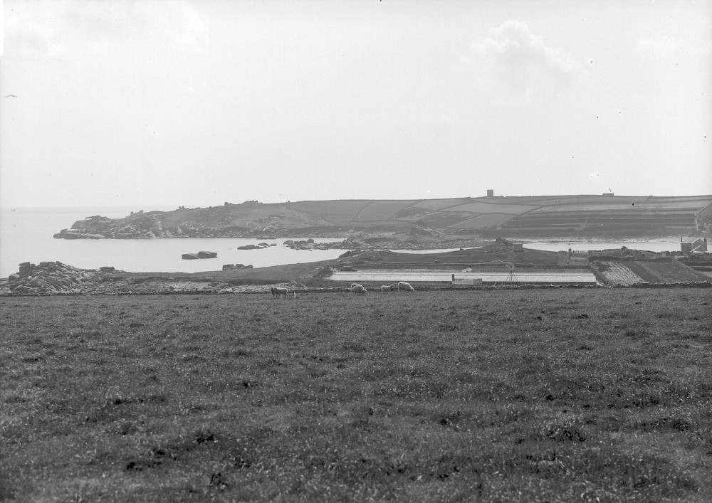
| Caption: | S. end of St. Marys, Scilly. Looking SW. |
| Description: | S. end of St. Marys, Scilly. Looking SW. View taken a little east of Old Town, St. Marys, looking west. Shows the north and south trending boundaries of land and water, also granite plateau. Also the Tableland of the central granite mass of St. Marys. Figured in Memoirs of the Geological Survey - The geology of the Isles of Scilly (1906) Plate II. |
| Date taken: | Mon May 01 00:00:00 GMT 1905 |
| Photographer: | Hall, T.C. |
| Copyright statement: | Crown |
| X longitude/easting: | 91500 |
| Y latitude/northing: | 9500 |
| Coordinate reference system, ESPG code: | 27700 (OSGB 1936 / British National Grid) |
| Orientation: | Landscape |
| Size: | 191.83 KB; 1000 x 707 pixels; 85 x 60 mm (print at 300 DPI); 265 x 187 mm (screen at 96 DPI); |
| Average Rating: | Not yet rated |
| Categories: | Unsorted Images, Geoscience subjects/ Landforms, weathering/ Plateaux |
Loading...
Loading...
Reviews
There is currently no feedback