| P number: | P000062 |
|---|---|
| Old photograph number: | C02888 |
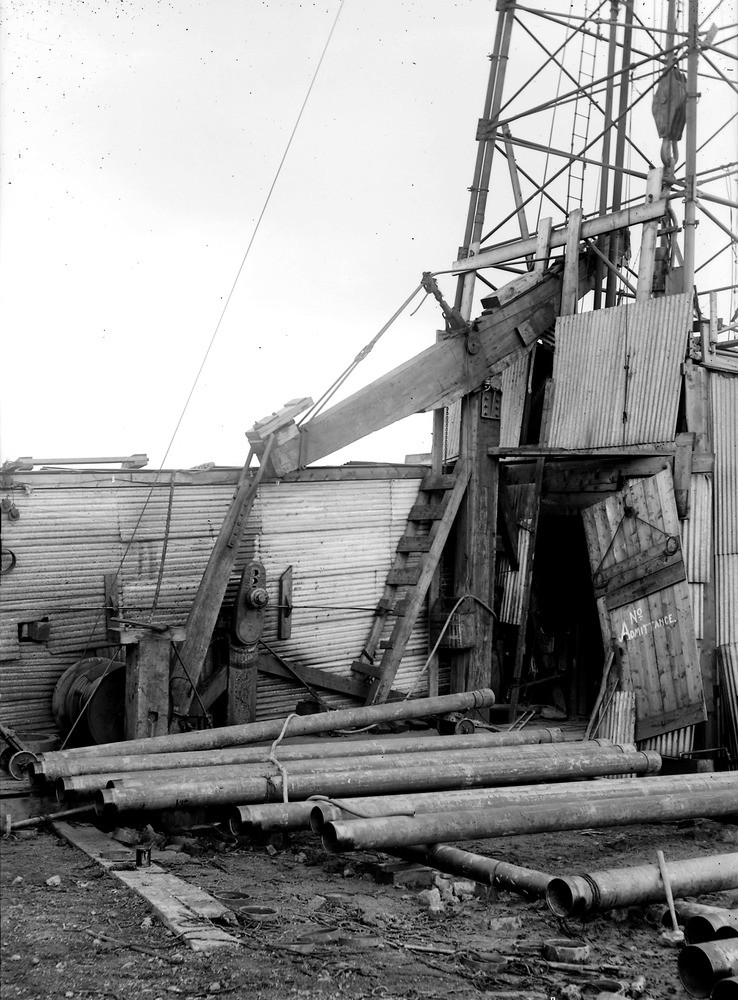
| Caption: | West Calder, 320 m. south-south-west of United Presbyterian Church and 25.8 km. south-west of Edinburgh. Site of borehole 1919-1921. Midlothian. |
| Description: | West Calder, 320 m. south-south-west of United Presbyterian Church and 25.8 km. south-west of Edinburgh. Site of borehole 1919-1921. Midlothian. Near view of rotary oil well drilling rig, showing part of derrick, the beam, casing etc. The boring is situated on the crest of a well-marked anticlinal axis at a height of 628 feet above O.D. It commenced in the Oil-Shale Group of the Carboniferous Calciferous Sandstone Series. After almost 4000 feet of drilling it produced only slight traces of oil and gas. |
| Date taken: | Sat Jan 01 00:00:00 GMT 1921 |
| Photographer: | Tait, D. |
| Copyright statement: | Crown |
| Acknowledgment: | This image was digitized with grant-in-aid from SCRAN the Scottish Cultural Resources Access Network |
| X longitude/easting: | 300500 |
| Y latitude/northing: | 662500 |
| Coordinate reference system, ESPG code: | 27700 (OSGB 1936 / British National Grid) |
| Orientation: | Portrait |
| Size: | 230.93 KB; 738 x 1000 pixels; 62 x 85 mm (print at 300 DPI); 195 x 265 mm (screen at 96 DPI); |
| Average Rating: | Not yet rated |
| Categories: | Unsorted Images |
Loading...
Loading...
Reviews
There is currently no feedback