| P number: | P581648 |
|---|---|
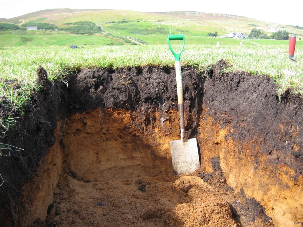
| Caption: | Lochend Farm Trial Pit 1, showing depth of open excavation prior to installation of shuttering. Dark brown humic topsoil overlying horizontally interbedded yellowish orange gravel and sand. Spade c. 1.1metres long. |
| Date taken: | Sat Aug 28 00:00:00 BST 2004 |
| Photographer: | Auton, C.A. |
| Copyright statement: | Non-BGS |
| Copyright note: | Commercially Confidential commission, UKAEA/BGS joint copyright |
| Additional information: | NC86SE CA4125 |
| X longitude/easting: | 289030 |
| Y latitude/northing: | 963699 |
| Coordinate reference system, ESPG code: | 27700 (OSGB 1936 / British National Grid) |
| Orientation: | Landscape |
| Size: | 315.53 KB; 1000 x 750 pixels; 85 x 64 mm (print at 300 DPI); 265 x 198 mm (screen at 96 DPI); |
| Average Rating: | Not yet rated |
| Categories: | Best of BGS Images/ Geological structures |
Loading...
Loading...
Reviews
There is currently no feedback