| P number: | P527797 |
|---|---|
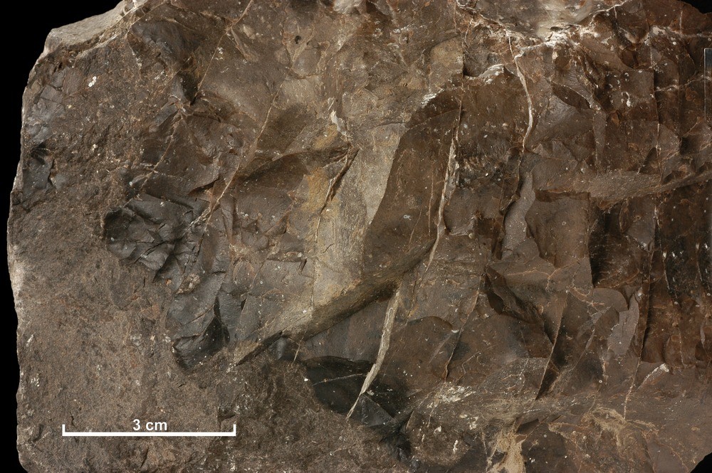
| Caption: | Limestone from the Harburn Limestone Mine, near West Calder, Midlothian. |
| Description: | A cherty limestone from the Carboniferous Burdiehouse Limestone formation from the Harburn Limestone Mine, two and a half miles south-east of West Calder, Midlothian. BGS Sample SL 54. British Geological Survey Petrology Collection sample number MC 7573. The Burdiehouse Limestone was mined here by the Glasgow Iron and Steel Company Ltd. The thickness of the seam is about 27 feet. There is a two-inch rib of coal about 10 feet from the top. The stone is removed in benches, and pillars are left to support the roof. The bed dips westwards at about 5 degrees. The limestone is a fine-grained rather dark rock of uniform quality. It was used as a flux, for cement manufacture, and ground for agricultural purposes. It is recorded that up to 1949 it was not burnt for lime. The present Harburn Limestone Mine is the second mine of this name. The first mine was situated three-quarters of a mile north-west of the later mine, beside Harburn Quarry. The workings, which covered about 19 acres of ground, were abandoned in 1916. Some stone was also extracted at the now disused Torphin Quarry, adjacent to the railway. |
| Date taken: | Sun Jun 25 00:00:00 GMT 1905 |
| Photographer: | Unknown |
| Copyright statement: | Unknown |
| Orientation: | Landscape |
| Size: | 263.62 KB; 1000 x 665 pixels; 85 x 56 mm (print at 300 DPI); 265 x 176 mm (screen at 96 DPI); |
| Average Rating: | Not yet rated |
| Categories: | Unsorted Images |
Loading...
Loading...
Reviews
There is currently no feedback