| P number: | P002362 |
|---|---|
| Old photograph number: | C02505 |
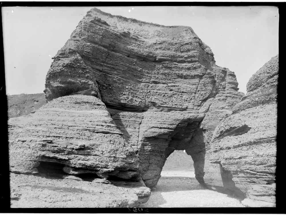
| Caption: | Coast, 2.4 km. north-east of Arbroath, Angus. An arch formed in Upper Old Red Sandstone conglomerate driven along the line of a fault. |
| Description: | Coast, 2.4 km. north-east of Arbroath, Angus. An arch formed in Upper Old Red Sandstone conglomerate driven along the line of a fault. There has been differential erosion between the coarser conglomerates and the more easily eroded finer sandstones. |
| Date taken: | Wed Jan 01 00:00:00 GMT 1919 |
| Photographer: | Lunn, R. |
| Copyright statement: | Crown |
| Acknowledgment: | This image was digitized with grant-in-aid from SCRAN the Scottish Cultural Resources Access Network |
| X longitude/easting: | 366500 |
| Y latitude/northing: | 741500 |
| Coordinate reference system, ESPG code: | 27700 (OSGB 1936 / British National Grid) |
| Orientation: | Landscape |
| Size: | 259.25 KB; 1000 x 756 pixels; 85 x 64 mm (print at 300 DPI); 265 x 200 mm (screen at 96 DPI); |
| Average Rating: | Not yet rated |
| Categories: | Unsorted Images, Geoscience subjects/ Landforms, marine/ Influence of structure, composition, faults, joints and dip, Geoscience subjects/ Landforms, marine/ Natural arches |
Loading...
Loading...
Reviews
There is currently no feedback