| P number: | P222659 |
|---|---|
| Old photograph number: | L01969 |
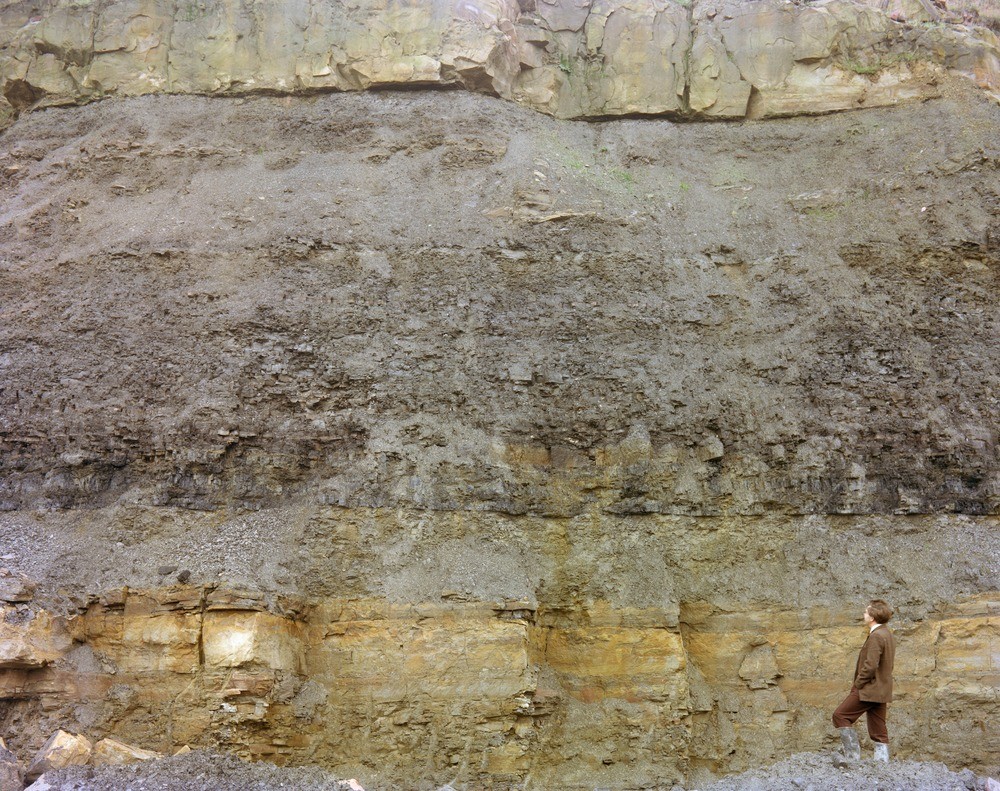
| Caption: | Robin Hood Quarry (disused). Looking S. by E. |
| Description: | Robin Hood Quarry (disused). Looking S. by E. The lower part of the face near the centre of Photograph L1966. The measures seen are: the base of the lenticular sandstone above the middle of the face; about 12 feet (3.7 m.) of light grey shale, locally with two thin coal layers; 2 ft. (0.61 m.) of shaly coal; 3 ft. (0.9 m.) of rooty mudstone; about 2 ft. coal carries a lenticular rusty ironstone, up to about 25 cm. thick, which is almost imperceptible at the sides of the picture. This is the bed from which Deans recorded Francolite in ooliths (with Kaolinite). Photo L1970 is a closer view of the middle of this picture. |
| Date taken: | Fri Oct 01 00:00:00 BST 1976 |
| Photographer: | Thornton, K.E. |
| Copyright statement: | NERC |
| X longitude/easting: | 431990 |
| Y latitude/northing: | 426480 |
| Coordinate reference system, ESPG code: | 27700 (OSGB 1936 / British National Grid) |
| Orientation: | Landscape |
| Size: | 367.33 KB; 1000 x 791 pixels; 85 x 67 mm (print at 300 DPI); 265 x 209 mm (screen at 96 DPI); |
| Average Rating: | Not yet rated |
| Categories: | Unsorted Images |
Loading...
Loading...
Reviews
There is currently no feedback