| P number: | P222586 |
|---|---|
| Old photograph number: | L01784 |
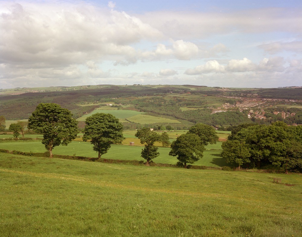
| Caption: | High Friarside, near Burnopfield. |
| Description: | High Friarside, near Burnopfield. The Derwent Valley near Rowlands Gill. View looking north-west across the Derwent Valley near Burnopfield. In the foreground partially drift-free the gently rising ground is underlain largely by low Westphalian B and high Westphalian A strata. In the middle distance and north of the Derwent Valley including Rowlands Gill much of the wooded ground is occupied by a melange of glacial sand and gravel between the river and the Spen Burn the line of which may be seen running obliquely across the photo behind the long row of houses on the north side of Rowlands Gill. The buried valley of the Derwent runs through this tract of ground. (See also Photo. No. L1785.) |
| Date taken: | Thu Jun 01 00:00:00 BST 1978 |
| Photographer: | Thornton, K.E. |
| Copyright statement: | NERC |
| X longitude/easting: | 416430 |
| Y latitude/northing: | 556830 |
| Coordinate reference system, ESPG code: | 27700 (OSGB 1936 / British National Grid) |
| Orientation: | Landscape |
| Size: | 234.58 KB; 1000 x 785 pixels; 85 x 66 mm (print at 300 DPI); 265 x 208 mm (screen at 96 DPI); |
| Average Rating: | Not yet rated |
| Categories: | Unsorted Images |
Loading...
Loading...
Reviews
There is currently no feedback