| P number: | P001528 |
|---|---|
| Old photograph number: | D04003 |
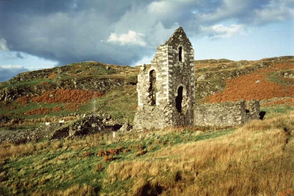
| Caption: | Pibble Mine engine house, 5 km. east-north-east of Creetown, on the north-west slope of Pibble Hill, Kirkudbrightshire. |
| Description: | Pibble Mine engine house, 5 km. east-north-east of Creetown, on the north-west slope of Pibble Hill, Kirkudbrightshire. A former lead-zinc mine that worked a four-feet wide vein trending 20 degrees north of west and hading to the west at from 75 to 80 degrees. The vein comprised broken country rock with quartz and barytes and carrying a little galena (lead ore), zinc-blende and chalcopyrite and other minor minerals. The hade is the angle at which the vein dips. |
| Date taken: | Sat Oct 01 00:00:00 BST 1988 |
| Photographer: | Bain, T.S. |
| Copyright statement: | NERC |
| Acknowledgment: | This image was digitized with grant-in-aid from SCRAN the Scottish Cultural Resources Access Network |
| X longitude/easting: | 252550 |
| Y latitude/northing: | 560680 |
| Coordinate reference system, ESPG code: | 27700 (OSGB 1936 / British National Grid) |
| Orientation: | Landscape |
| Size: | 254.77 KB; 1000 x 667 pixels; 85 x 56 mm (print at 300 DPI); 265 x 176 mm (screen at 96 DPI); |
| Average Rating: | Not yet rated |
| Categories: | Best of BGS Images/ Industrial geology |
Loading...
Loading...
Reviews
There is currently no feedback