| P number: | P218170 |
|---|---|
| Old photograph number: | D00530 |
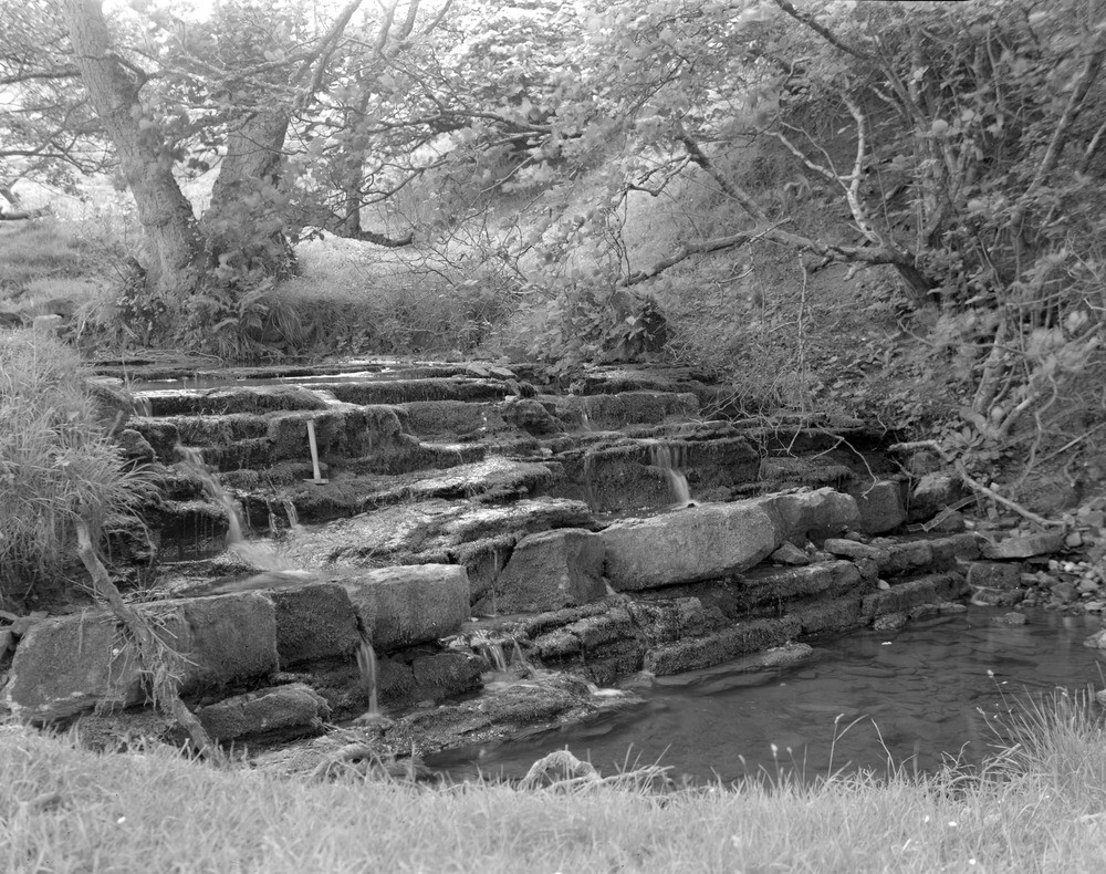
| Caption: | Staneshiel Burn, 320 m. upstream from road. |
| Description: | Staneshiel Burn, 320 m. upstream from road. Limestone in Carboniferous Limestone series. Hammer rests on band containing abundant Syringothyris cuspidate. |
| Date taken: | Sun Jan 01 00:00:00 GMT 1961 |
| Photographer: | Fisher, W.D. |
| Copyright statement: | Crown |
| X longitude/easting: | 354500 |
| Y latitude/northing: | 592500 |
| Coordinate reference system, ESPG code: | 27700 (OSGB 1936 / British National Grid) |
| Orientation: | Landscape |
| Size: | 310.54 KB; 1000 x 790 pixels; 85 x 67 mm (print at 300 DPI); 265 x 209 mm (screen at 96 DPI); |
| Average Rating: | Not yet rated |
| Categories: | Unsorted Images, Geoscience subjects/ Sedimentary features/ Bedding-planes |
Loading...
Loading...
Reviews
There is currently no feedback