| P number: | P202585 |
|---|---|
| Old photograph number: | A02637 |
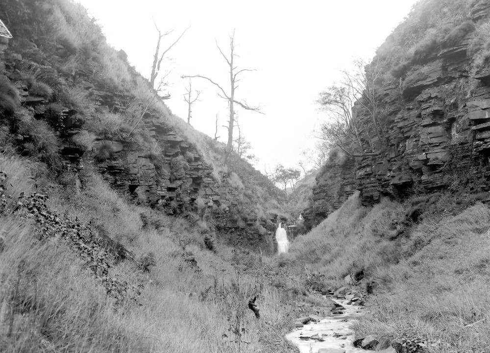
| Caption: | Warmden Clough, 1 1/2 m. SE of Accrington Station. Looking E. |
| Description: | Warmden Clough, 1 1/2 m. SE of Accrington Station. Looking E. Lower Coal Measures, Lancashire. The Great Arc, or Bullion Rock, with shale beneath it. The gorge below the waterfall marks the recession of the fall since the Glacial Epoch. |
| Date taken: | Sat Sep 01 00:00:00 BST 1923 |
| Photographer: | Rhodes, J. |
| Copyright statement: | Crown |
| X longitude/easting: | 377500 |
| Y latitude/northing: | 427500 |
| Coordinate reference system, ESPG code: | 27700 (OSGB 1936 / British National Grid) |
| Orientation: | Landscape |
| Size: | 253.69 KB; 1000 x 720 pixels; 85 x 61 mm (print at 300 DPI); 265 x 190 mm (screen at 96 DPI); |
| Average Rating: | Not yet rated |
| Categories: | Unsorted Images, Geoscience subjects/ Landforms, river/ Waterfalls and pot-holes |
Loading...
Loading...
Reviews
There is currently no feedback