| P number: | P201923 |
|---|---|
| Old photograph number: | A01972 |
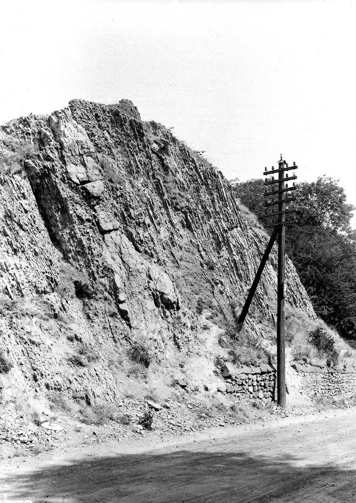
| Caption: | Road-cutting, Hurst Hill, about 1/4 m. E. of Sedgley, about 2 1/2 m. N. of Dudley. Looking N. |
| Description: | Road-cutting, Hurst Hill, about 1/4 m. E. of Sedgley, about 2 1/2 m. N. of Dudley. Looking N. Section in Middle Limestone Shales. Middle Limestone Shales, between upper and lower bands of Wenlock Limestone. Bedding dipping at 70 degrees to E, 6 degrees N. |
| Date taken: | Fri Jul 01 00:00:00 BST 1921 |
| Photographer: | Rhodes, J. |
| Copyright statement: | Crown |
| X longitude/easting: | 393500 |
| Y latitude/northing: | 293500 |
| Coordinate reference system, ESPG code: | 27700 (OSGB 1936 / British National Grid) |
| Orientation: | Portrait |
| Size: | 336.60 KB; 708 x 1000 pixels; 60 x 85 mm (print at 300 DPI); 187 x 265 mm (screen at 96 DPI); |
| Average Rating: | Not yet rated |
| Categories: | Unsorted Images, Geoscience subjects/ Stratigraphical |
Loading...
Loading...
Reviews
There is currently no feedback