| P number: | P225159 |
|---|---|
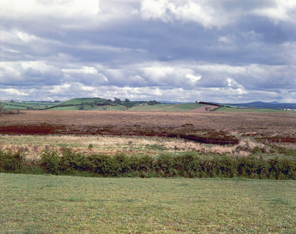
| Old photograph number: | NI00476 |
| Caption: | Eskermore Townland, 1 1/2 m. WNW of Beragh. Looking NNW. |
| Description: | Eskermore Townland, 1 1/2 m. WNW of Beragh. Looking NNW. Esker, Eskermore Townland. Gravel esker with a sinuous north-east to south-west course. Node beside farmhouse as on photo no. NI472 seen from the opposite side. Peat in middle ground. |
| Date taken: | Sat May 01 00:00:00 BST 1965 |
| Photographer: | Pulsford, J.M. |
| Copyright statement: | NERC |
| X longitude/easting: | 252500 |
| Y latitude/northing: | 367300 |
| Coordinate reference system, ESPG code: | 2157 (IRENET95 / Irish Transverse Mercator) |
| Orientation: | Landscape |
| Size: | 560.99 KB; 1001 x 793 pixels; 85 x 67 mm (print at 300 DPI); 265 x 210 mm (screen at 96 DPI); |
| Average Rating: | Not yet rated |
| Categories: | Special collections/ Northern Ireland/ Tyrone, Geoscience subjects/ Landforms, glaciation/ Kames and eskers |
Loading...
Loading...
Reviews
There is currently no feedback